Infectious Disease
Track the spread of infectious disease, develop mitigation strategies and coordinate response plans in order to maximize public safety.
Smart Cities
Increase the efficiency and sustainability of urban transportation systems through mobility planning and traffic management operations.
Crime
Use historical data to predict where crimes are likely to occur, and then use that information to deploy resources to areas where they’re most needed.
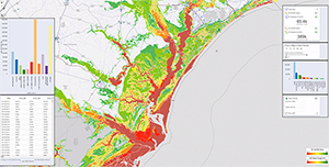
Infrastructure Management
Monitor and predict the performance of public infrastructure by integrating traditional geospatial analytics with data from remote sensors, aerial imagery and advanced computer vision algorithms.
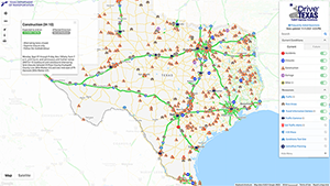
Disaster Monitoring and Response
Plan for, and mitigate the impacts of natural and man-made disasters and ensure emergency services are positioned for optimal response.
Field Service Management
Determine the most efficient routes for public service workers and vehicles and ensure that they are dispatched to areas where they’re most needed.