Our Products
Mapping Software Products, API and Geocoder
MapLarge provides a cloud based platform for big data analytics and visualization. Our technology allows us to map more data than anyone else. MapLarge contains all of the necessary components to create enterprise end to end solutions. All of the components use open standards for communication and are drop in compatible with ESRI, Google, LeafletJS, OpenLayers and OpenStreetMap.
MapLarge API
MapLarge offers an API to embed interactive maps on your website, blog or news story. Web editors can save months of development time. Installation only requires a few lines of code.
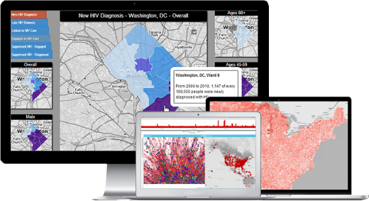
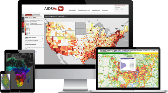
Visualization Engine
Detecting patterns in Big Data is a challenge when viewing aggregate data. With MapLarge, analysts can view much higher resolutions leading to greater insights in less time. Users can query against any combination of dimensions and visualize their data instantly.
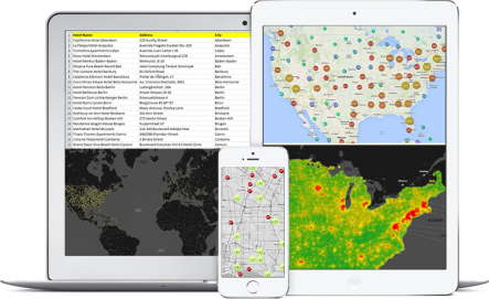
Geocoder and API
Geocoding is the first step in analyzing data in a geospatial context. MapLarge's cloud and appliance based, world class geocoder can quickly turn any address into the lat/long necessary for accurate analysis and effective decision making.
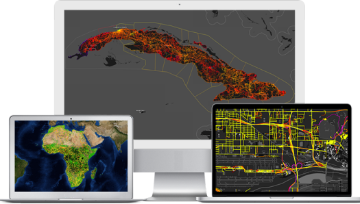
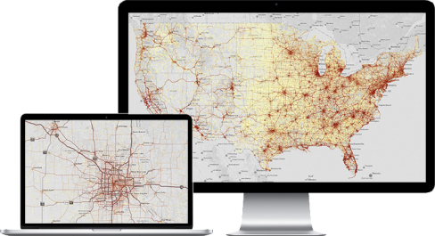
Network Graph
MapLarge provides network-based spatial analysis, such as routing, fleet routing, travel directions, closest facility, and service area. Develop networks from your GIS data by using an advanced network data model allowing for realistic network conditions.
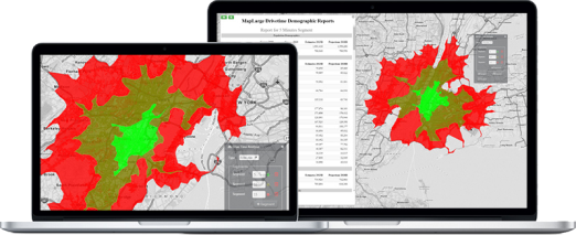
Drive Time Analysis
MapLarge's Drive Time Analysis tool enables businesses to analyze site locations, identify and retain customers, target new markets and existing trade areas, and examine competitors in both distance and time segments.
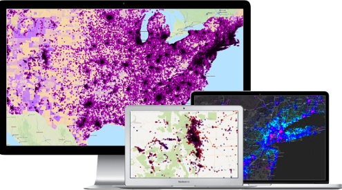
Traffic Count Analysis
With over 4 million traffic points, the MapLarge traffic count database covers the entire US with detailed coverage for small rural roads and large urban freeways. Generate sophisticated visualizations in seconds to provide valuable answers to a variety of location and routing questions.
Demographics
Improve business analysis and facilitate accurate business decisions with comprehensive consumer and business demographics. MapLarge offers current and previous Census and ACS data with estimates and five year projections, consumer lifestyle and behavior data, traffic counts, business and custom demographics!