GIS Data Formats
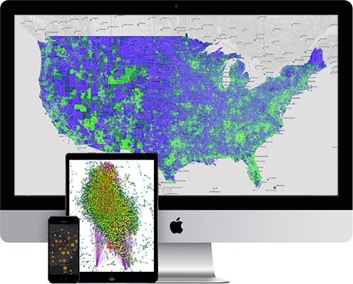
Import Existing Data for Powerful Visualization
MapLarge offers a wide variety of format options for importing existing data. Geospatial information can be created, stored, and shared in many different types of data formats, but to use each type of format requires a platform that is compatible and able to import the specific data source. Often times companies or federal agencies will already have data in a specific format and trying to convert data to work with your GIS solution can become time consuming and lead to delays or corruption of data. MapLarge makes it easy to import your data and create dynamic maps, fast visualization, and perform detailed analysis.
MapLarge Supported Formats

Excel / CSV Text
(Comma Separated Values)
Very popular, widely used file format supported by consumer, business, and finance industries along with government and scientific communities. Each line is one entry or record and the fields in a record are separated by commas.

Well Known Text
(Text Files / CSV / Well Known Text/ WKT)
Text markup language that represents vector geometry objects on a map, spatial reference systems, and transformations between spatial reference systems. WKT description is made up of three components: geometry type, coordinate type, and coordinate list.

ShapeFile
(ESRI Shape File )
Stores non topological geometry and attribute information for the spatial features in a data set. The geometry for a feature is stored as a set of vector coordinates. Shape files typically require less disk space and are easier to read and write.

KML
Keyhole Markup Language Google Earth Format
KML is an XML based file format used to display geographic data in an Earth browser, such as Google Earth, Google Maps, and Google Maps for mobile. KML is an international standard maintained by the Open Geospatial Consortium, Inc.

GPX
(GPS Exchange Format, GPS Tracks)
A light-weight XML data format for the interchange of GPS data (waypoints, routes, and tracks) between applications and Web services on the Internet. A CAD data file format developed by Autodesk for enabling data exchange between AutoCAD and other programs.

GeoJSON
(Geographic JavaScript Object Notation)
A simple, lightweight, open format for encoding a variety of geographic data structures. GeoJSON supports the following geometry types: Point, LineString, Polygon, MultiPoint, MultiLineString, and MultiPolygon.